top of page

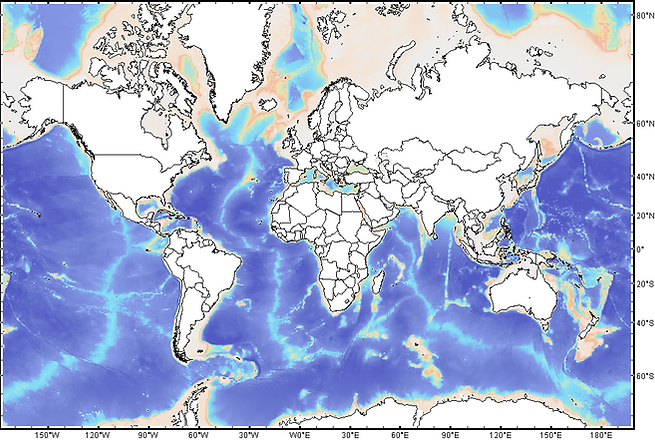
Bathymetry
Different bathymetry requires different mooring systems. Depending on the location we can adjust the system. A present-day mooring system is servicable up to a depth of 3000 meter.
The map shows us the global bathymetry with different colors according the water depth. From the spectrum it is clear that most of the ocean is deeper than 3000m. Which is the upper limit of a concentional mooring system.

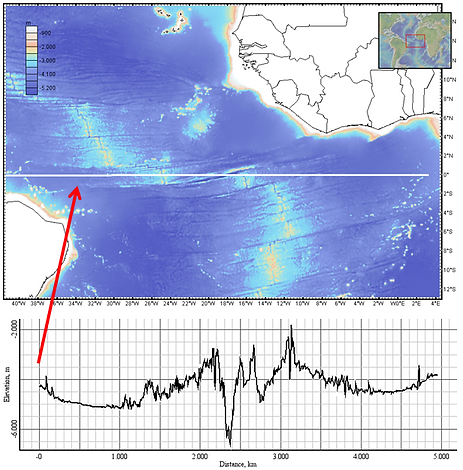
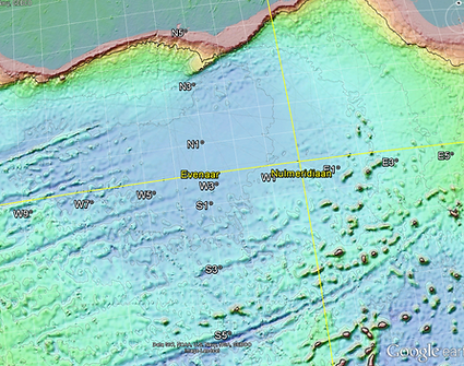
As from the databases we are using it is possible to get more detailed information about the bathymetry at a certain location. We can deliver either a depth profile as well as a detaild grid of your location in Google Maps. This all depends on our costumer preferences and applications.
bottom of page